 +1 (561) 644-3311
  info@floodresponseassistance.com

What Is My Flood Zone? Your Questions Answered
If you’ve ever tried to buy insurance, close on a property, or simply figure out how worried you should be about a rising creek, you’ve probably run into a single letter, or a pair of them, printed on a FEMA map: AE, VE, X, A. Those letters carry real weight. They can determine whether flood insurance is required, how much it costs, and what you’re allowed to build.
This guide answers the question “what is my flood zone?” in plain language. Whether you’re just curious or actively trying to protect a building, start here.
What is a flood zone?
A flood zone is a geographic area that FEMA (the Federal Emergency Management Agency) has classified according to its risk of flooding. FEMA maps flood risk across the country through the National Flood Insurance Program (NFIP), and publishes the results on Flood Insurance Rate Maps (FIRMs) and the digital National Flood Hazard Layer (NFHL).
Every mapped parcel of land gets a designation, essentially a letter code, that reflects how likely it is to flood and how severe that flooding could be. Those designations drive three big things: whether you’re required to carry flood insurance, how your property is priced and built, and how lenders treat your mortgage.
How do I find out what flood zone I’m in?
You have a few reliable options:
- FEMA’s Flood Map Service Center (msc.fema.gov) is the official source. You can search by address and view your property’s flood zone on the current FIRM.
- Your county or municipal GIS system often provides an interactive map with property-specific detail, sometimes more current or granular than the federal view.
- Your insurance agent or lender can pull your zone as part of a quote or a loan.
A flood risk professional can go a step further, interpreting not just your zone but your building’s specific vulnerabilities.
One important caveat: a flood zone describes an area, not your individual structure. Two homes on the same block can face very different real-world risk depending on elevation, foundation, and drainage. The map is the starting point, not the whole story.
What do the flood zone letters mean?
FEMA uses a set of designations that fall into three broad buckets: high-risk, moderate-to-low risk, and undetermined. Here’s what the common ones mean:
High-risk zones (Special Flood Hazard Areas) (These have at least a 1% annual chance of flooding):
- Zone A — High-risk, but without detailed engineering analysis. No Base Flood Elevation has been calculated, so boundaries are approximate.
- Zone AE — The most common high-risk designation. High-risk and FEMA has determined a specific Base Flood Elevation for the area.
- Zone AH — Areas of shallow flooding, typically ponding one to three feet deep, often near retention ponds or in flat, low-lying areas.
- Zone AO — Shallow flooding from sheet flow, usually on sloping terrain, with a determined flood depth rather than elevation.
- Zone AR / A99 — Areas temporarily or provisionally protected by a flood-control project (like a levee) that is being restored or built.
- Zone V — High-risk coastal areas exposed to storm surge and wave action, without a determined BFE.
- Zone VE — The highest-risk designation: coastal high-hazard areas with wave action and a determined Base Flood Elevation. These are the most expensive to insure.
Moderate-to-low-risk zones:
- Zone X (shaded) — Moderate risk, roughly the 0.2% annual chance area, often called the “500-year floodplain.”
- Zone X (unshaded) — Minimal mapped risk, outside both the high- and moderate-risk areas.
Undetermined risk:
- Zone D — Areas where flood risk hasn’t been analyzed or determined. It doesn’t mean “no risk,” just “unknown.”
What’s the difference between a high-risk and a low-risk zone?
The dividing line is the Special Flood Hazard Area (SFHA) – land with at least a 1% chance of flooding in any given year. All the “A” and “V” zones fall inside the SFHA and are considered high-risk. The “X” zones sit outside it.
Being inside the SFHA triggers real consequences:
- Mandatory flood insurance for federally backed mortgages
- Stricter building standards
- Higher premiums.
Being outside it eases those requirements, but, as you’ll see below, it does not mean you’re safe.
Do I have to have flood insurance?
It depends on your zone and your mortgage.
If your property is in a high-risk zone (any A or V designation) and you have a federally backed or federally regulated mortgage, flood insurance is legally required. This is known as the mandatory purchase requirement.
If you’re in a moderate- or low-risk zone (Zone X), flood insurance generally isn’t federally required, though your lender can still require it, and many recommend it. Here’s the statistic worth remembering: more than 20% of NFIP flood claims come from properties outside high-risk zones. “Not required” is not the same as “not needed.”
What is Base Flood Elevation (BFE)?
The Base Flood Elevation is the height that floodwater is expected to reach during a base flood, the flood with a 1% annual chance of occurring. It’s expressed as an elevation relative to a standard reference point.
BFE matters enormously. In zones like AE and VE, whether your building’s lowest floor sits above or below the BFE affects both your compliance and your insurance rate. Elevating a structure even a foot above the BFE can significantly reduce flood risk, and often the premium along with it.
What does “100-year flood” actually mean?
This term causes more confusion than almost any other in the flood world. A “100-year flood” does not mean a flood happens once every hundred years. It means a flood of that severity has a 1% chance of occurring in any single year.
That distinction matters. Over the life of a 30-year mortgage, a property in the 1% zone has roughly a 26% chance of experiencing at least one such flood, far higher than “once a century” makes it sound. And a 100-year flood can happen two years in a row; the odds simply reset every year.
Does my flood zone determine my insurance premium?
Not the way it used to. FEMA overhauled how the NFIP prices flood insurance with a system called Risk Rating 2.0, phased in beginning in October 2021. Under the old system, your premium was largely a function of your flood zone. Under Risk Rating 2.0, pricing is far more individualized.
Today, NFIP premiums reflect property-specific factors such as:
- Distance to the nearest water source
- The type of flooding you’re exposed to (river, coastal, surge, rainfall)
- The frequency of flooding in your area
- Your building’s characteristics, including elevation and replacement cost
The upshot: your zone still matters, but it no longer sets your premium on its own. Two properties in the same zone can pay very different rates. It also means the specific steps you take to protect your building, like elevation and proper flood openings, can influence what you pay.
Can my flood zone change?
Yes, and it happens more often than people expect. FEMA regularly updates its maps based on new hydrologic studies, development in the area, improved modeling, and changing conditions like sea-level rise. When maps are revised, a property can move from one designation to another, sometimes into a higher-risk zone, sometimes out of one.
A change can alter your insurance requirements and costs, so it’s worth checking your current designation periodically rather than assuming the map you saw at closing still applies. Property owners are typically notified before map changes take effect.
I’m in Zone X. Am I safe?
You’re at lower mapped risk, which is good news, but “lower risk” is not “no risk.” Remember that roughly a quarter of all flood insurance claims come from moderate- and low-risk zones.
Zone X reflects FEMA’s mapped boundaries based largely on historical data. It doesn’t account for every localized event: a flash flood, a drainage backup, a burst main, or the kind of intense rainfall that’s becoming more common. The good news is that flood insurance in Zone X is comparatively inexpensive, which makes optional coverage an easy decision for a lot of owners. Flooding, as the saying goes, doesn’t read maps.
How can I lower my flood risk, and possibly my premium?
This is where knowing your zone turns into action. Depending on your property, several measures can reduce both your real-world risk and, under Risk Rating 2.0, potentially your premium:
- Install certified flood vents in enclosed spaces like garages and crawlspaces to relieve hydrostatic pressure and protect your foundation.
- Elevate your building or its lowest floor above the Base Flood Elevation where feasible.
- Elevate utilities and mechanical systems above expected flood levels.
- Obtain an Elevation Certificate. This document records your building’s elevation relative to the BFE and can support a more accurate, often lower, insurance rate.
- Improve drainage and grading so water moves away from your structure.
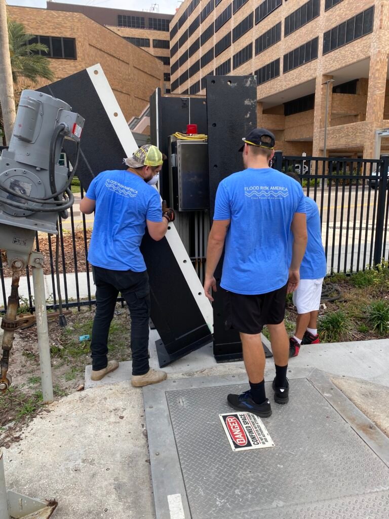
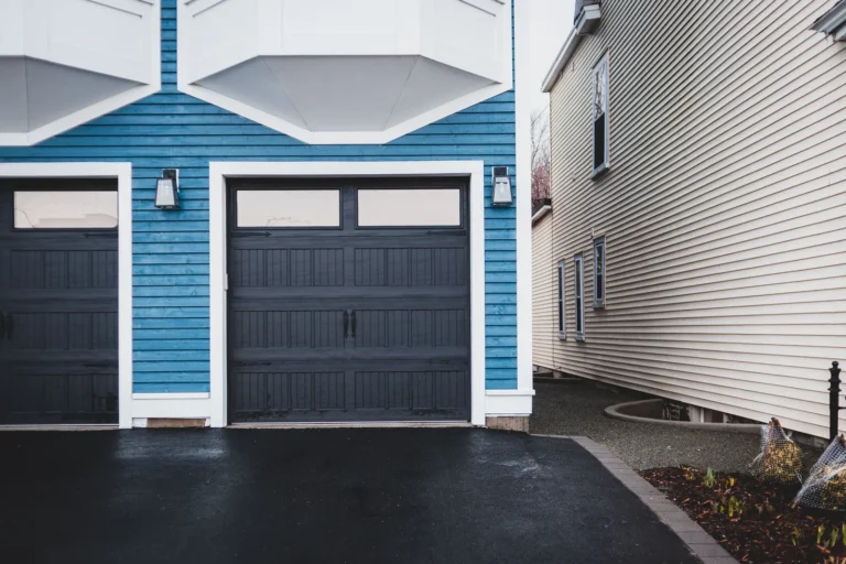
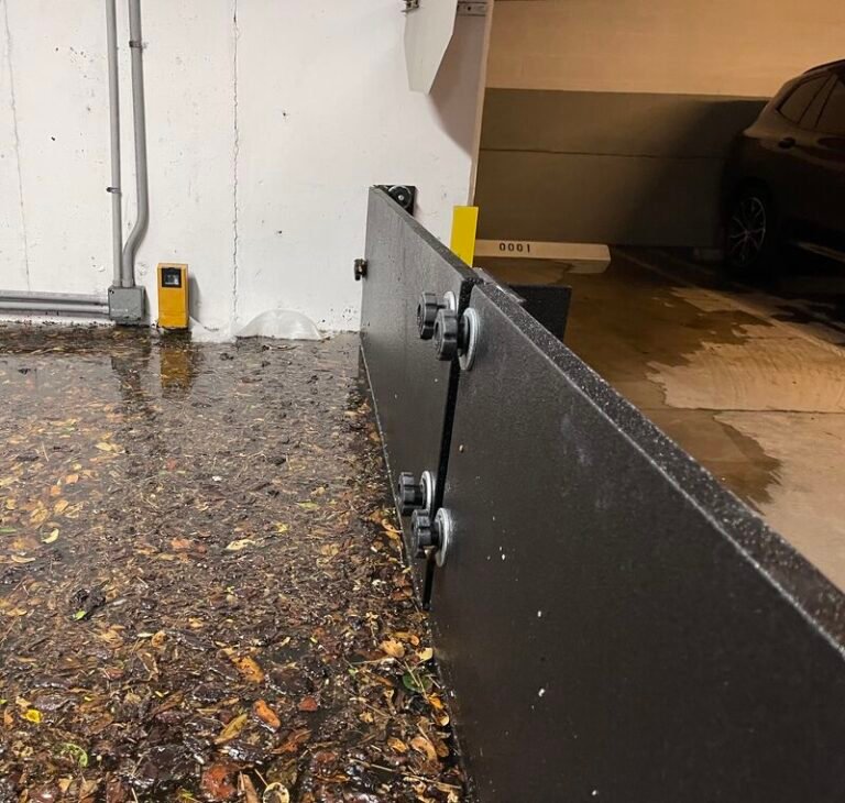
- Add deployable flood barriers for doors, garages, and other openings.
A flood protection professional can tell you which of these actually move the needle for your specific property.
How long does it take for flood insurance to kick in?
Most new NFIP policies carry a 30-day waiting period before coverage begins, so you can’t buy a policy as a storm approaches and expect it to cover the damage. There are narrow exceptions, such as when you’re buying flood insurance as part of a new mortgage closing (coverage is effective immediately). The practical lesson: buy well before storm season, not in response to a forecast.
Where do I go from here?
Finding your flood zone is step one. Understanding what it means for your insurance, your building, and your risk is step two, and this guide should have you covered on both. Step three is doing something about it.
If you’ve learned you’re in a high-risk zone, or even a “safe” Zone X that no longer feels so safe, the smartest next move is a professional flood risk assessment. It looks past the map at your actual building and tells you exactly what protection makes sense.
Want to understand your real flood risk? Contact Flood Response Assistance for a property-specific assessment and a plan to protect what matters.
Disclaimer: This article is for general information and isn’t a substitute for professional insurance, legal, or engineering advice. Always verify your specific designation through FEMA’s Flood Map Service Center and consult a licensed professional for decisions about your property.