Flood Prediction Map: Is Your Commercial Property at Risk This Spring?
One of the most effective tools for assessing your flood risk is a flood prediction map, but other factors can also indicate potential issues.
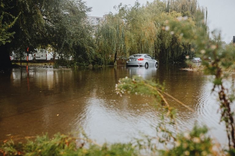
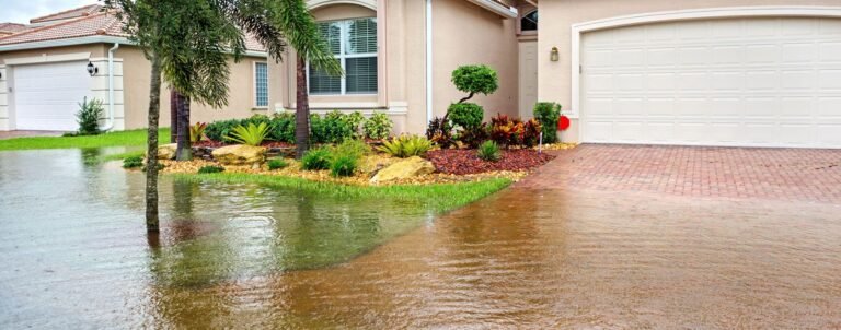
As spring approaches, melting snow, heavy rains, and rising water levels increase the risk of flooding. If you own or manage a commercial property, identifying early warning signs can help you take preventive action before disaster strikes.
Here are some key signs that your commercial property may be at risk of flooding this spring and how a flood prediction map can help.
How to Tell if Your Commercial Property is at Risk of Flooding
1. Your Property Is in a High-Risk Flood Zone – The first step in assessing your flood risk is checking a flood prediction map. These maps provide real-time and historical data on flood-prone areas, helping businesses understand their exposure. If your property is located in or near a floodplain, it is at higher risk of seasonal flooding, especially during spring when snowmelt and rainfall peak.
2. Nearby Rivers, Streams, or Storm Drains Are at Capacity – If your property is located near a body of water, it’s important to monitor water levels. Rising water in rivers and streams, as well as clogged or overwhelmed storm drains, can lead to flash flooding. Check for local flood warnings and weather forecasts to stay informed about potential water level increases.
3. Pooling Water or Poor Drainage Around Your Property – Standing water in parking lots, around building foundations, or near entry points can signal drainage issues. If heavy rains cause water to accumulate, it may indicate that your property’s drainage system is not working efficiently. Blocked gutters, insufficient grading, or an overwhelmed stormwater system can all increase the likelihood of flooding.
4. Heavy Snowpack With Rising Temperatures – If your area has experienced heavy snowfall during the winter, rapid snowmelt can contribute to flooding, especially when combined with spring rainfall. A flood prediction map can help estimate potential flood risks based on snowpack levels and warming trends.
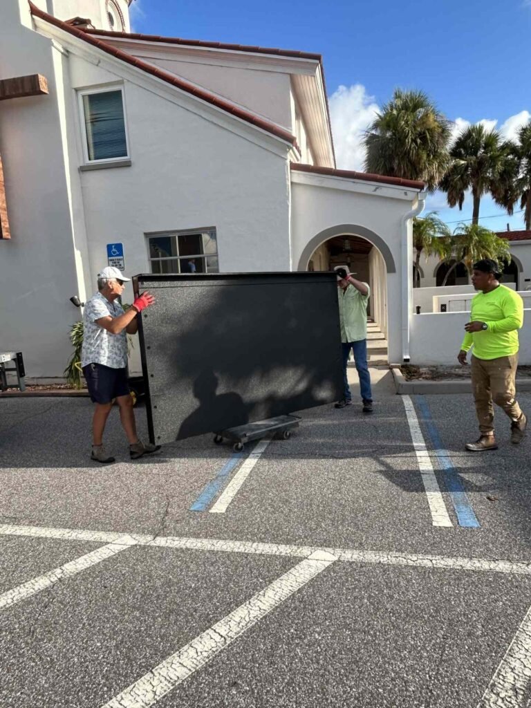
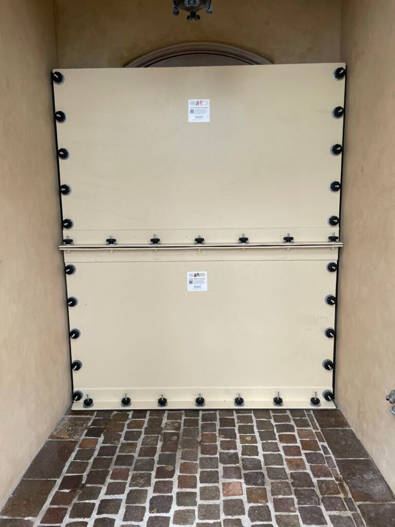
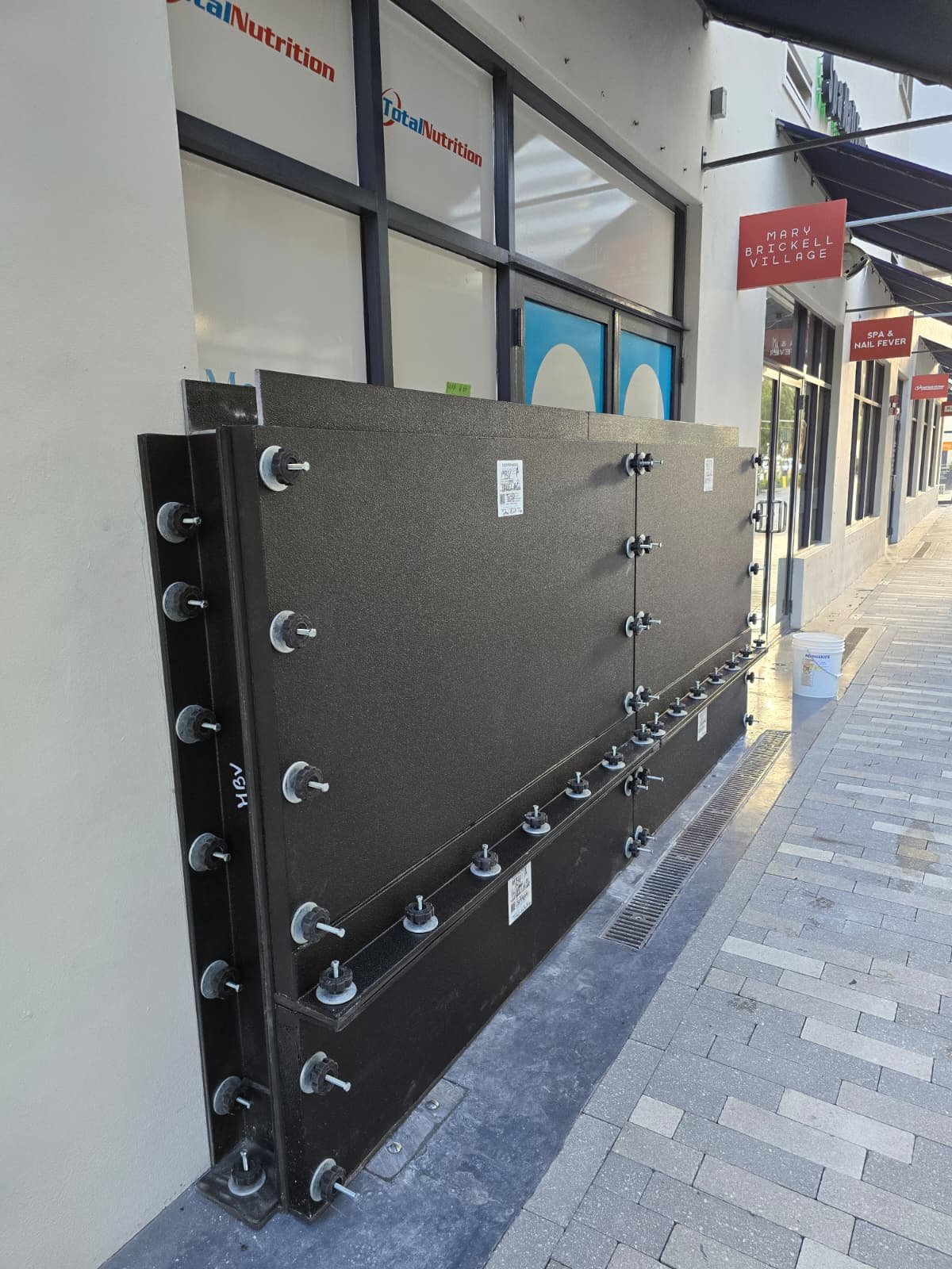
5. Frequent or Past Flooding Incidents – A history of flooding at your property is a strong indicator that it may flood again. Check past flood records, insurance claims, and local floodplain data to determine how often your area experiences seasonal floods. If your property has flooded before, it’s crucial to implement mitigation measures like flood barriers or improved drainage systems.
6. Nearby Construction or Land Development – New construction projects in your area can alter water flow and drainage patterns, potentially increasing flood risks. If new developments have paved over natural drainage areas or altered nearby waterways, it could cause runoff to accumulate near your property.
7. Changes in Local Weather Patterns – Climate change has led to more frequent and intense storms, which means areas that were previously considered low-risk may now be more susceptible to flooding. Keep an eye on weather forecasts and your area’s flood prediction map to identify shifting flood risks in your region.
How a Flood Prediction Map Helps Protect Your Commercial Property
Flooding can cause extensive damage to commercial properties, disrupting business operations and leading to costly repairs. One of the most effective ways to assess your flood risk is by using a flood prediction map. For example, FEMA’s flood maps use data such as:
- Historical flood records
- Topography and elevation levels
- Climate and weather patterns
- Hydrologic and hydraulic modeling
These maps provide insight into flood-prone areas, helping business owners make informed decisions about flood protection. However, not all flood maps are up to date, and relying on outdated information can leave your property vulnerable.
That’s why it’s crucial to consult flood risk experts for a professional flood risk assessment to truly understand your flood vulnerabilities.
The Problem With an Outdated Flood Prediction Map
Factors such as urban development, climate change, and shifting waterways can alter flood patterns. If your area has experienced new construction, deforestation, or extreme weather events, your flood risk may be higher than what the flood prediction map indicates.
Outdated flood maps may:
- Underestimate flood risk, leading to a false sense of security
- Fail to reflect recent changes in drainage, infrastructure, or climate patterns
- Cause property owners to skip flood insurance, leaving them unprotected when a flood occurs
Because of these limitations, business owners should not rely solely on a flood prediction map to assess their flood risk.
Get a Professional Flood Risk Assessment
To get a true understanding of your flood vulnerabilities, it’s best to consult flood risk experts. A professional flood risk assessment goes beyond general flood maps by evaluating factors specific to your property, such as:
- On-site elevation and drainage conditions
- Structural vulnerabilities (e.g., basements, entry points, critical equipment placement)
- Nearby water sources and infrastructure
- Custom flood protection solutions
By combining a flood prediction map with expert flood risk assessments, you can make informed decisions that protect your commercial property from costly flood damage. Contact Flood Response Assistance to get a professional flood assessment for your specific property.